The SLAM200E is a high-precision, high-performance, and high-efficiency handheld laser scanner meticulously developed by FeimaRobotics. It combines the defining strengths of its predecessors SLAM100 and SLAM200 into a single, powerful platform. Equipped with a high-frequency LiDAR sensor, dual 12 MP panoramic cameras, a built-in high-precision GNSS module, and a high-performance onboardcomputing unit, the SLAM200E delivers a groundbreaking experience in spatial data acquisition.
As a professional-grade mobile mapping tool, the SLAM200E inherits the robust capabilities of previous generations, enabling accurate mapping even in GNSS-denied environments. Its integrated computing unit supports real-time data processing, allowing simultaneous data acquisition, mapping, and coloring.
When connected to an external RTK device, it also enables real-time absolute coordinate mapping. In addition, the SLAM200E introduces several new proprietary features developed by Feima Robotics, including: Breakpoint resume feature for interrupted scans, point cloud fusion for scan gaps, high-fidelity 3DGS reconstruction. And the all-new SLAM Instant App, which enables instant mapping upon scan completion— ideal for industry scenarios that demand rapid field reporting and enhanced operational efficiency.
The SLAM200E is a high-precision, high-performance, and high-efficiency handheld laser scanner meticulously developed by FeimaRobotics. It combines the defining strengths of its predecessors SLAM100 and SLAM200 into a single, powerful platform. Equipped with a high-frequency LiDAR sensor, dual 12 MP panoramic cameras, a built-in high-precision GNSS module, and a high-performance onboardcomputing unit, the SLAM200E delivers a groundbreaking experience in spatial data acquisition.
As a professional-grade mobile mapping tool, the SLAM200E inherits the robust capabilities of previous generations, enabling accurate mapping even in GNSS-denied environments. Its integrated computing unit supports real-time data processing, allowing simultaneous data acquisition, mapping, and coloring.
When connected to an external RTK device, it also enables real-time absolute coordinate mapping. In addition, the SLAM200E introduces several new proprietary features developed by Feima Robotics, including: Breakpoint resume feature for interrupted scans, point cloud fusion for scan gaps, high-fidelity 3DGS reconstruction. And the all-new SLAM Instant App, which enables instant mapping upon scan completion— ideal for industry scenarios that demand rapid field reporting and enhanced operational efficiency.
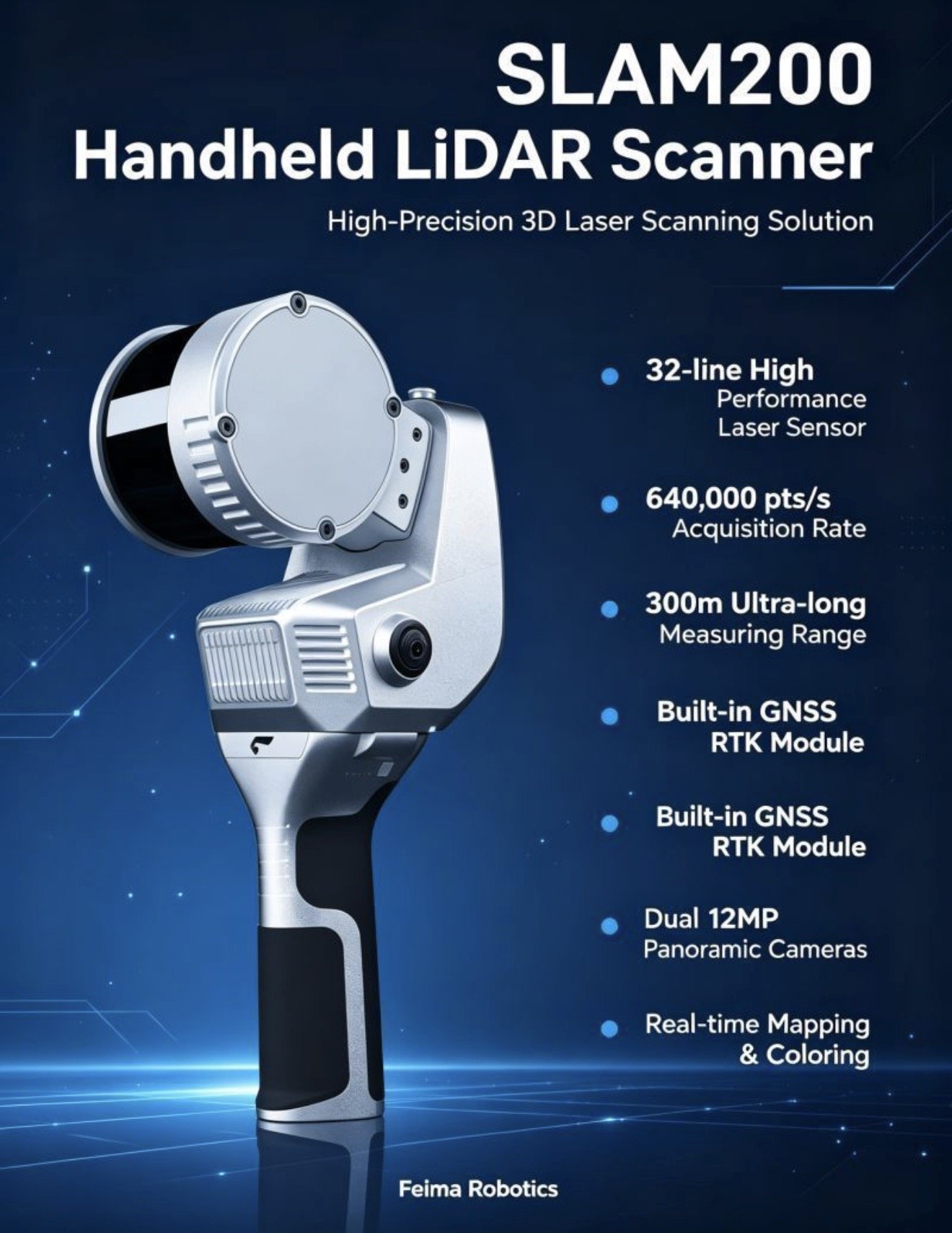 Image 1 of 8
 Image 2 of 8
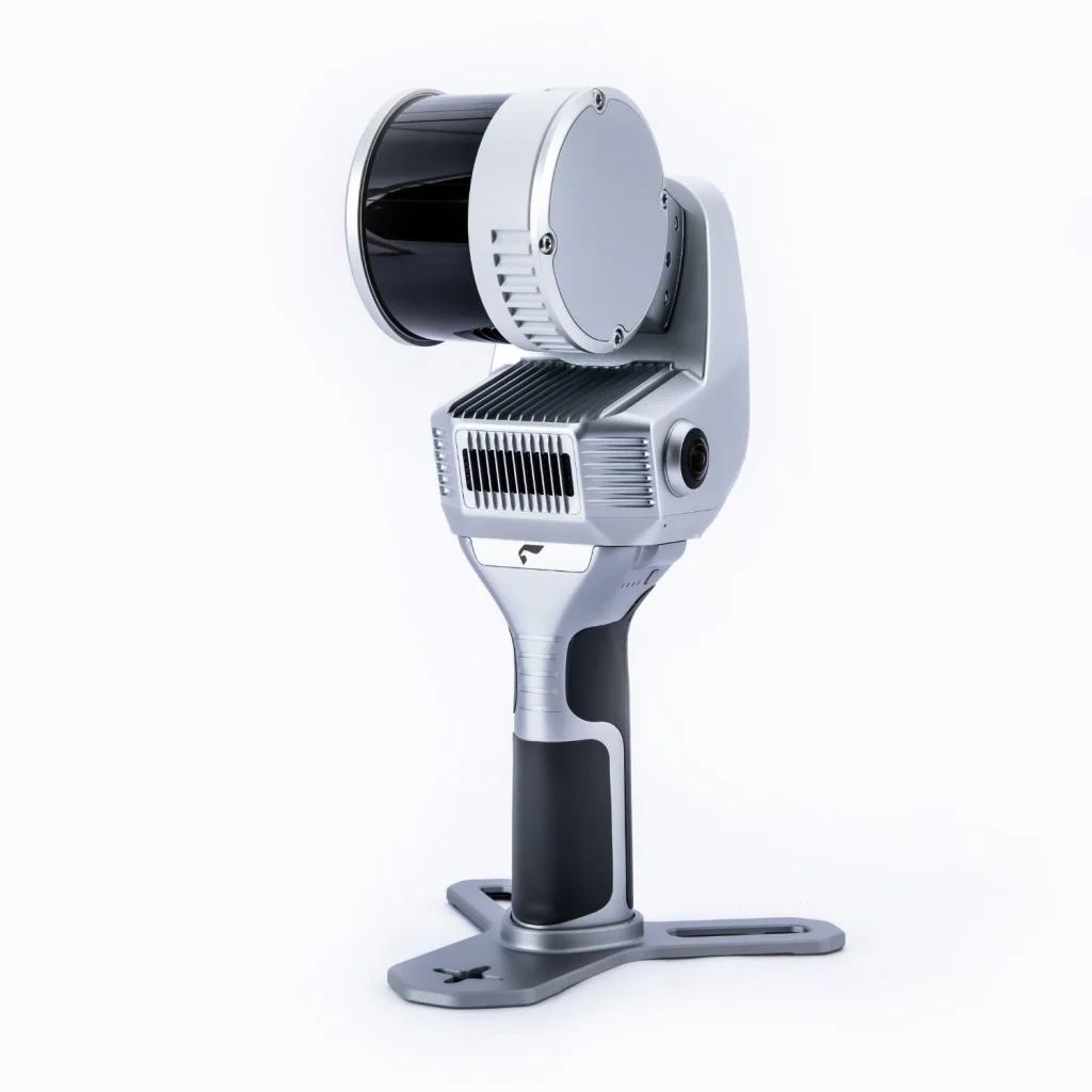 Image 3 of 8
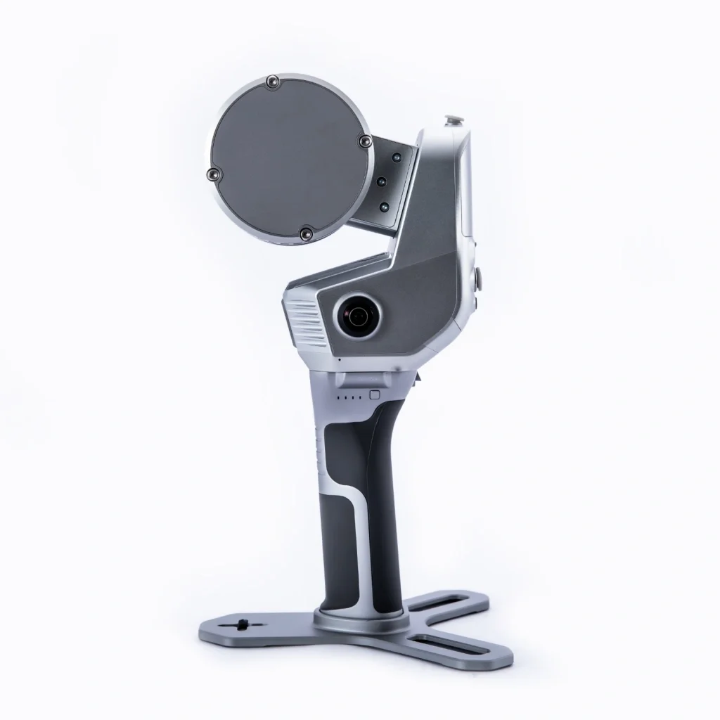 Image 4 of 8
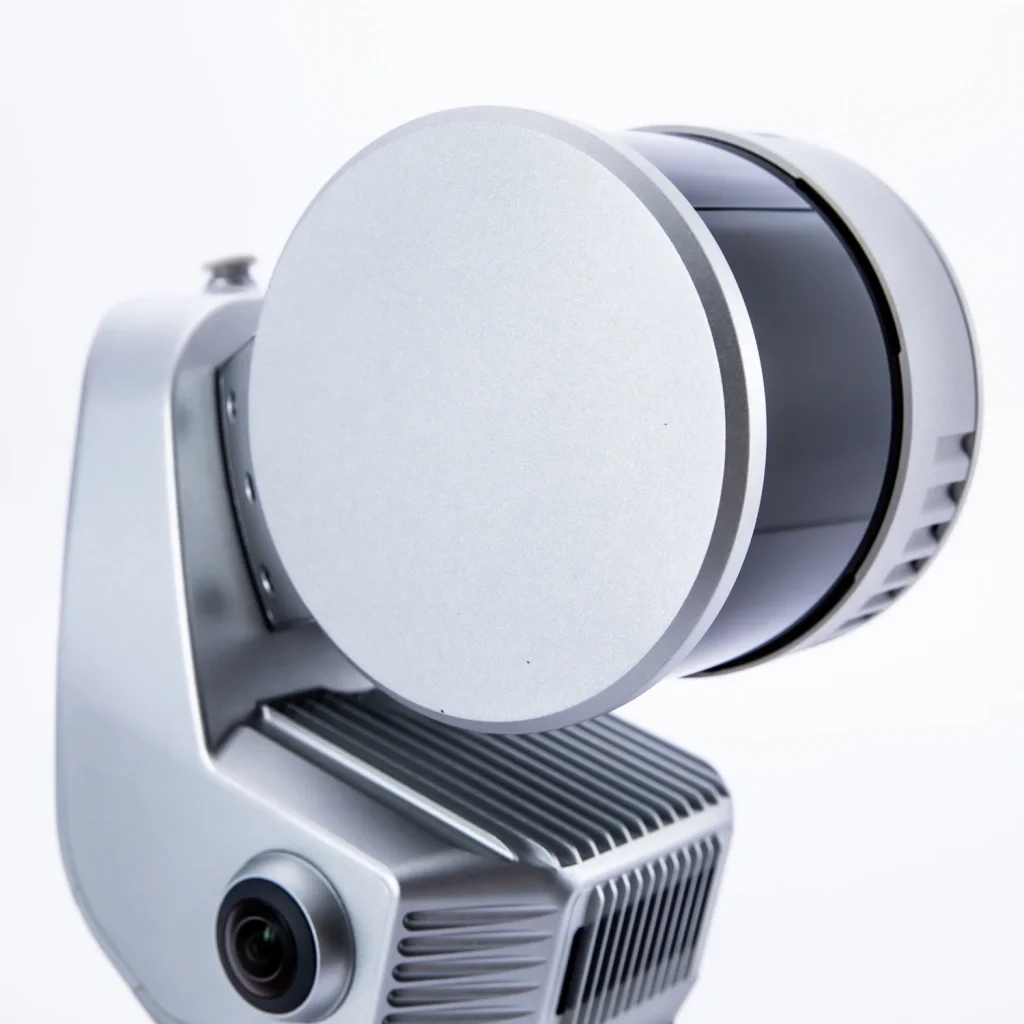 Image 5 of 8
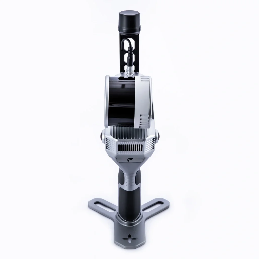 Image 6 of 8
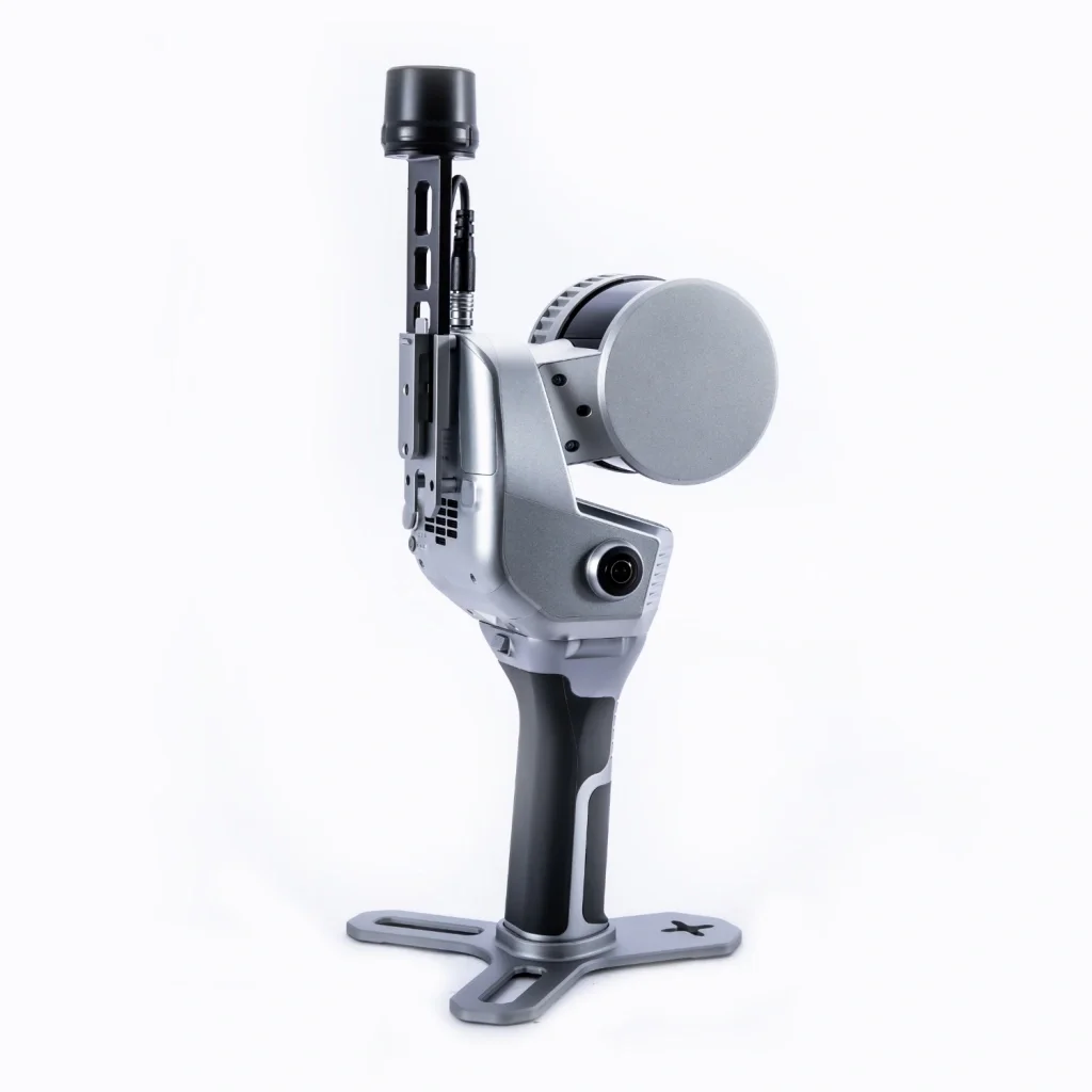 Image 7 of 8
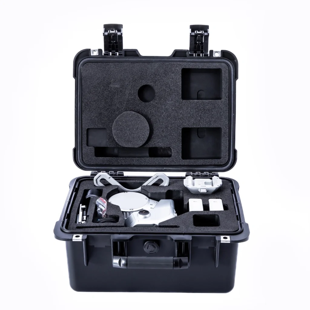 Image 8 of 8